Ellers
Introduction
The photograph on this page of Ellers by Dave Dunford as part of the Geograph project.
The Geograph project started in 2005 with the aim of publishing, organising and preserving representative images for every square kilometre of Great Britain, Ireland and the Isle of Man.

There are currently over 7.5m images from over 14,400 individuals and you can help contribute to the project by visiting https://www.geograph.org.uk
Ellers
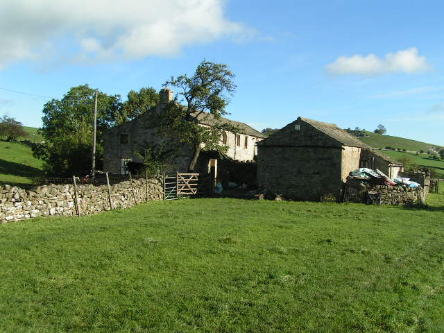
Image: © Dave Dunford Taken: 23 Oct 2006
Remotely situated farm on the Coast-to-Coast long-distance path between Marrick and Marske.
Images are licensed for reuse under creativecommons.org/licenses/by-sa/2.0
Image Location
Latitude
54.388215
Longitude
-1.869076