Village street, Sampford Courtenay
Introduction
The photograph on this page of Village street, Sampford Courtenay by Derek Harper as part of the Geograph project.
The Geograph project started in 2005 with the aim of publishing, organising and preserving representative images for every square kilometre of Great Britain, Ireland and the Isle of Man.

There are currently over 7.5m images from over 14,400 individuals and you can help contribute to the project by visiting https://www.geograph.org.uk
Village street, Sampford Courtenay
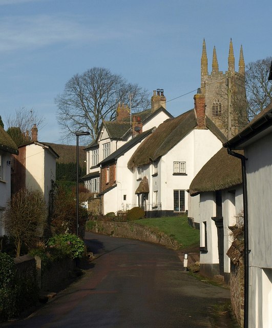
Image: © Derek Harper Taken: 13 Jan 2012
Another view along the street shown in Image, with the church tower rising behind the thatched Green Cottage http://www.britishlistedbuildings.co.uk/en-93062-green-cottage-sampford-courtenay . The green space in front of the cottage is used by Sampford Courtenay Footpath 12, which runs to the churchyard.
Images are licensed for reuse under creativecommons.org/licenses/by-sa/2.0
Image Location
Latitude
50.793825
Longitude
-3.94179