Sampford Courtenay: the southern part of the village
Introduction
The photograph on this page of Sampford Courtenay: the southern part of the village by Derek Harper as part of the Geograph project.
The Geograph project started in 2005 with the aim of publishing, organising and preserving representative images for every square kilometre of Great Britain, Ireland and the Isle of Man.

There are currently over 7.5m images from over 14,400 individuals and you can help contribute to the project by visiting https://www.geograph.org.uk
Sampford Courtenay: the southern part of the village
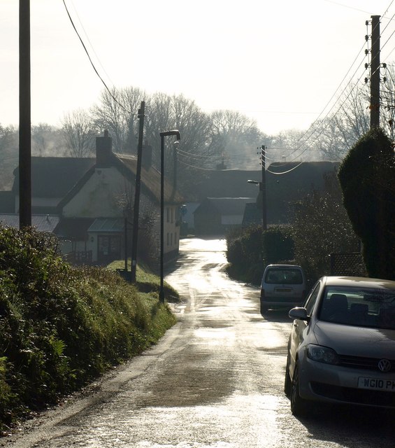
Image: © Derek Harper Taken: 13 Jan 2012
And the part which clusters around the crossroads on the A3072. The thatched New Inn, on the left, is C17 http://www.britishlistedbuildings.co.uk/en-93063-new-inn-sampford-courtenay , and other listed buildings form part of the group.
Images are licensed for reuse under creativecommons.org/licenses/by-sa/2.0
Image Location
Latitude
50.791418
Longitude
-3.940555