Maypole Dock
Introduction
The photograph on this page of Maypole Dock by Alan Murray-Rust as part of the Geograph project.
The Geograph project started in 2005 with the aim of publishing, organising and preserving representative images for every square kilometre of Great Britain, Ireland and the Isle of Man.

There are currently over 7.5m images from over 14,400 individuals and you can help contribute to the project by visiting https://www.geograph.org.uk
Maypole Dock
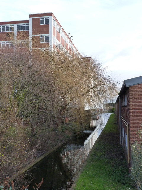
Image: © Alan Murray-Rust Taken: 9 Jan 2012
Looking east from Bridge Road. This end of the branch appears to have been narrowed.
Images are licensed for reuse under creativecommons.org/licenses/by-sa/2.0
Image Location
Latitude
51.504528
Longitude
-0.369108