Havelock Road, Southall
Introduction
The photograph on this page of Havelock Road, Southall by Alan Murray-Rust as part of the Geograph project.
The Geograph project started in 2005 with the aim of publishing, organising and preserving representative images for every square kilometre of Great Britain, Ireland and the Isle of Man.

There are currently over 7.5m images from over 14,400 individuals and you can help contribute to the project by visiting https://www.geograph.org.uk
Havelock Road, Southall
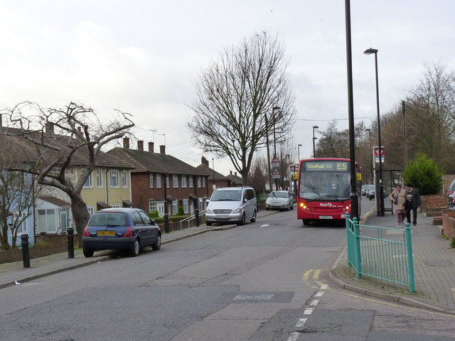
Image: © Alan Murray-Rust Taken: 9 Jan 2012
Following the line of an old country lane which linked Southall Green with Norwood Locks. The unusual feature of a raised carriageway with housing at a lower level is due to the fact that there were brickyards here, the roadway representing the original ground level. The housing dates from the immediate post-WW2 era.
Images are licensed for reuse under creativecommons.org/licenses/by-sa/2.0
Image Location
Latitude
51.500262
Longitude
-0.372718