Raithhill Farm and A77
Introduction
The photograph on this page of Raithhill Farm and A77 by Mary and Angus Hogg as part of the Geograph project.
The Geograph project started in 2005 with the aim of publishing, organising and preserving representative images for every square kilometre of Great Britain, Ireland and the Isle of Man.

There are currently over 7.5m images from over 14,400 individuals and you can help contribute to the project by visiting https://www.geograph.org.uk
Raithhill Farm and A77
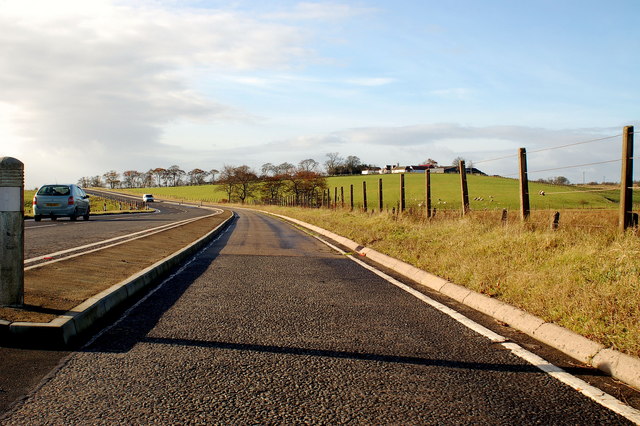
Image: © Mary and Angus Hogg Taken: 9 Nov 2006
In the foreground, the A77, reduced from a four-lane trunk road, now has a cycle track occupying half its width. Raithhill Farm is on the skyline.
Images are licensed for reuse under creativecommons.org/licenses/by-sa/2.0
Image Location
Latitude
55.688247
Longitude
-4.411527