North Downs Way at Otford
Introduction
The photograph on this page of North Downs Way at Otford by Malc McDonald as part of the Geograph project.
The Geograph project started in 2005 with the aim of publishing, organising and preserving representative images for every square kilometre of Great Britain, Ireland and the Isle of Man.

There are currently over 7.5m images from over 14,400 individuals and you can help contribute to the project by visiting https://www.geograph.org.uk
North Downs Way at Otford
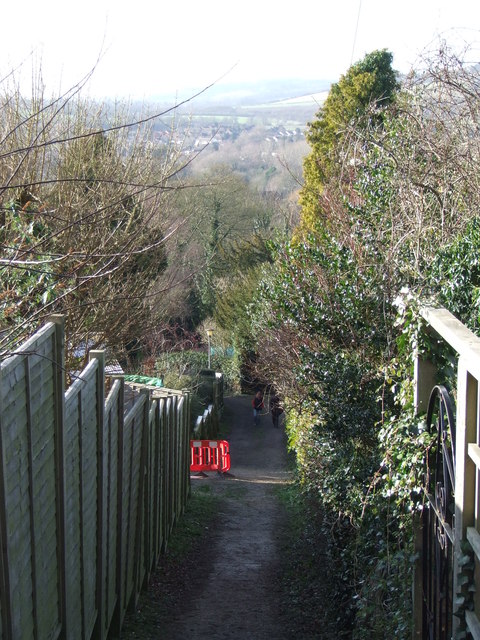
Image: © Malc McDonald Taken: 15 Jan 2012
The North Downs Way is a long distance footpath, covering 153 miles through the counties of Surrey and Kent. It stretches from Farnham, on the Surrey/Hampshire border, to Dover on the Kent Coast. This photo was taken at Otford, in Kent. More information about the North Downs Way can be found at the National Trails website http://www.nationaltrail.co.uk/Northdowns/
Images are licensed for reuse under creativecommons.org/licenses/by-sa/2.0
Image Location


Leaflet Map data © OpenStreetMap
Latitude
51.314456
Longitude
0.200859