View to Ysgyryd Fach
Introduction
The photograph on this page of View to Ysgyryd Fach by Philip Halling as part of the Geograph project.
The Geograph project started in 2005 with the aim of publishing, organising and preserving representative images for every square kilometre of Great Britain, Ireland and the Isle of Man.

There are currently over 7.5m images from over 14,400 individuals and you can help contribute to the project by visiting https://www.geograph.org.uk
View to Ysgyryd Fach
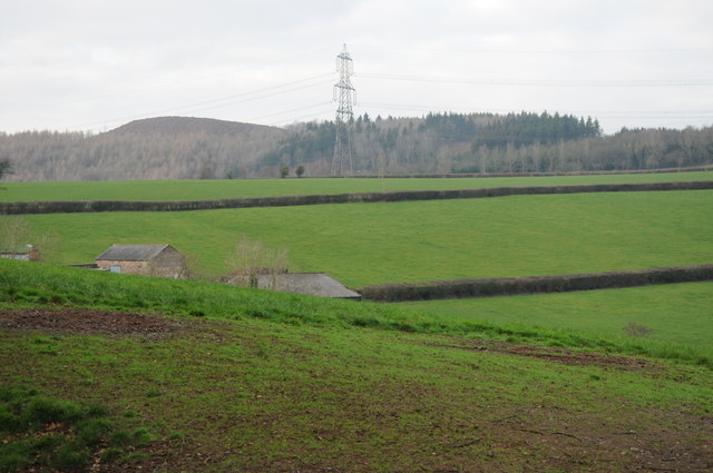
Image: © Philip Halling Taken: 14 Jan 2012
View over the rooftops of Lower Pentre-Gwyddel to Ysgyryd Fach, the summit of which is now clearfell.
Images are licensed for reuse under creativecommons.org/licenses/by-sa/2.0
Image Location
Latitude
51.808917
Longitude
-2.982349