Church Street, Stoke on Trent
Introduction
The photograph on this page of Church Street, Stoke on Trent by Stephen McKay as part of the Geograph project.
The Geograph project started in 2005 with the aim of publishing, organising and preserving representative images for every square kilometre of Great Britain, Ireland and the Isle of Man.

There are currently over 7.5m images from over 14,400 individuals and you can help contribute to the project by visiting https://www.geograph.org.uk
Church Street, Stoke on Trent
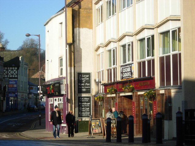
Image: © Stephen McKay Taken: 14 Jan 2012
A curiosity of the City of Stoke on Trent is that the main shopping centre is located in Hanley, leaving the centre of Stoke on Trent itself as little more than a suburb. This is Church Street with the Wheatsheaf, a Wetherspoon's pub on the right proclaiming its inclusion in the 2012 Good Beer Guide.
Images are licensed for reuse under creativecommons.org/licenses/by-sa/2.0
Image Location
Latitude
53.004061
Longitude
-2.185486