Cut Throat Lane
Introduction
The photograph on this page of Cut Throat Lane by Chris Heaton as part of the Geograph project.
The Geograph project started in 2005 with the aim of publishing, organising and preserving representative images for every square kilometre of Great Britain, Ireland and the Isle of Man.

There are currently over 7.5m images from over 14,400 individuals and you can help contribute to the project by visiting https://www.geograph.org.uk
Cut Throat Lane
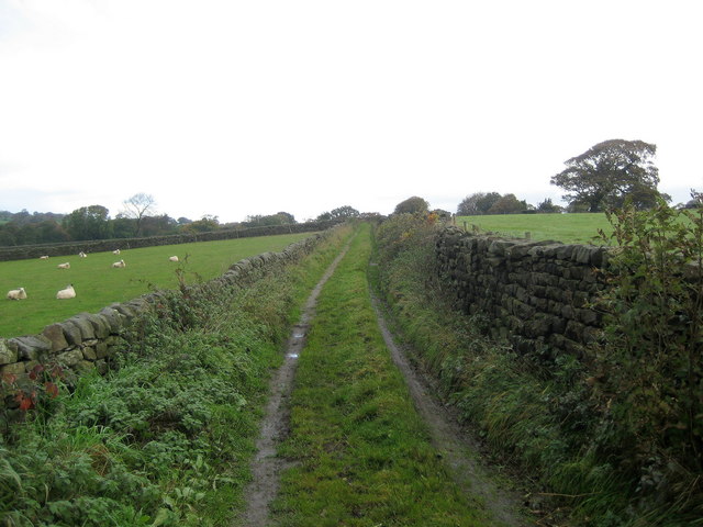
Image: © Chris Heaton Taken: 8 Nov 2006
Leads from the Bishop Thornton/Shaw Mills Road towards the west. Looking at your 1940 map, it now appears that some of this green lane has now been lost and incorporated into fields. What a wonderful name though!
Images are licensed for reuse under creativecommons.org/licenses/by-sa/2.0
Image Location
Latitude
54.060527
Longitude
-1.613446