Pasture and hillside south-west of Tregaron, Ceredigion
Introduction
The photograph on this page of Pasture and hillside south-west of Tregaron, Ceredigion by Roger D Kidd as part of the Geograph project.
The Geograph project started in 2005 with the aim of publishing, organising and preserving representative images for every square kilometre of Great Britain, Ireland and the Isle of Man.

There are currently over 7.5m images from over 14,400 individuals and you can help contribute to the project by visiting https://www.geograph.org.uk
Pasture and hillside south-west of Tregaron, Ceredigion
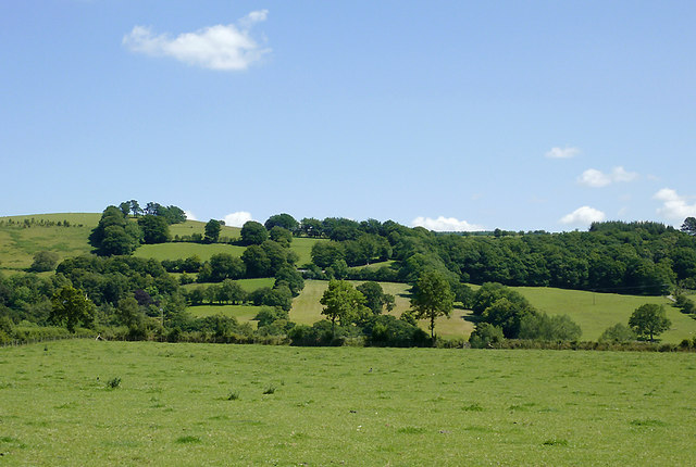
Image: © Roger D Kidd Taken: 14 Jul 2011
This is a telephoto assisted image looking across the Teifi valley from near the farm at Trecefel, and showing the hillside at Argoed-fawr (left of the deciduous woodland) beyond the river. That farm is just visible at the centre of the image, about half a mile away. The field in the foreground was being grazed by Welsh Black cows and calves, and a horse. They took a look at me then all decamped off to the right! Image]
Images are licensed for reuse under creativecommons.org/licenses/by-sa/2.0
Image Location
Latitude
52.207449
Longitude
-3.941709