The District Line, seen from near Wimbledon Park station
Introduction
The photograph on this page of The District Line, seen from near Wimbledon Park station by Stefan Czapski as part of the Geograph project.
The Geograph project started in 2005 with the aim of publishing, organising and preserving representative images for every square kilometre of Great Britain, Ireland and the Isle of Man.

There are currently over 7.5m images from over 14,400 individuals and you can help contribute to the project by visiting https://www.geograph.org.uk
The District Line, seen from near Wimbledon Park station
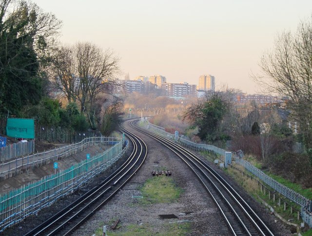
Image: © Stefan Czapski Taken: 14 Jan 2012
This is the view in the 'up' direction - next stop Southfields. Trains continue towards Earls Court, the West End and the City. The red brick (moderately) high-rise buildings in the distance are along Albert Drive, Southfields, while the grey towers beyond are situated off Beaumont Road.
Images are licensed for reuse under creativecommons.org/licenses/by-sa/2.0
Image Location
Latitude
51.436073
Longitude
-0.201487