Steep ground on the north side of River Rhymney footbridge, Machen
Introduction
The photograph on this page of Steep ground on the north side of River Rhymney footbridge, Machen by Jaggery as part of the Geograph project.
The Geograph project started in 2005 with the aim of publishing, organising and preserving representative images for every square kilometre of Great Britain, Ireland and the Isle of Man.

There are currently over 7.5m images from over 14,400 individuals and you can help contribute to the project by visiting https://www.geograph.org.uk
Steep ground on the north side of River Rhymney footbridge, Machen
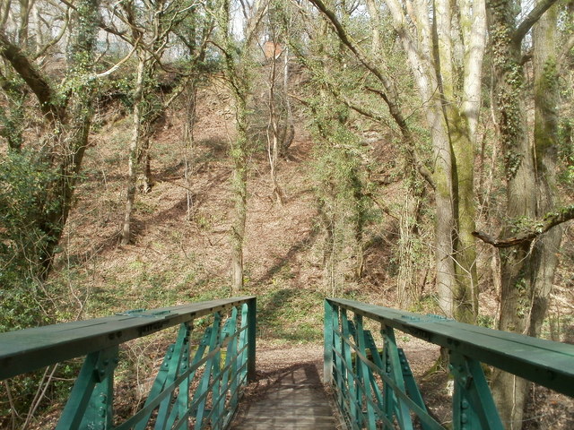
Image: © Jaggery Taken: 26 Feb 2011
Looking north across this footbridge. http://www.geograph.org.uk/photo/2763538 The footpath to the A468 is on the left side of the end of the footbridge. The direct route to the A468 would be straight up the steep bank ahead - not recommended!
Images are licensed for reuse under creativecommons.org/licenses/by-sa/2.0
Image Location
Latitude
51.59326
Longitude
-3.154821