Risk Street, Dumbarton
Introduction
The photograph on this page of Risk Street, Dumbarton by Lairich Rig as part of the Geograph project.
The Geograph project started in 2005 with the aim of publishing, organising and preserving representative images for every square kilometre of Great Britain, Ireland and the Isle of Man.

There are currently over 7.5m images from over 14,400 individuals and you can help contribute to the project by visiting https://www.geograph.org.uk
Risk Street, Dumbarton
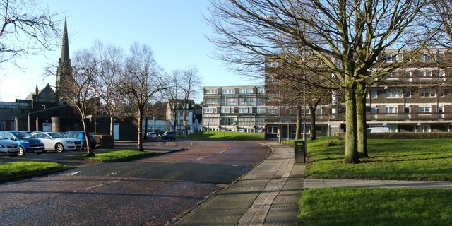
Image: © Lairich Rig Taken: 5 Jan 2012
The street is presumably named after one or both of the Provosts Risk: Image The direction of view is towards the High Street. The spire on the left is that of the Bell Centre (a Image). The flats on the right are by Garner, Preston and Strebel, and date from 1965-70; see Image and Image for some of those buildings. [The source of information about the flats was Frank Arneil Walker's "North Clyde Estuary – An Illustrated Architectural Guide" (1992).]
Images are licensed for reuse under creativecommons.org/licenses/by-sa/2.0
Image Location
Latitude
55.944476
Longitude
-4.572222