St Duthac's Church (remains of)
Introduction
The photograph on this page of St Duthac's Church (remains of) by Julian Paren as part of the Geograph project.
The Geograph project started in 2005 with the aim of publishing, organising and preserving representative images for every square kilometre of Great Britain, Ireland and the Isle of Man.

There are currently over 7.5m images from over 14,400 individuals and you can help contribute to the project by visiting https://www.geograph.org.uk
St Duthac's Church (remains of)
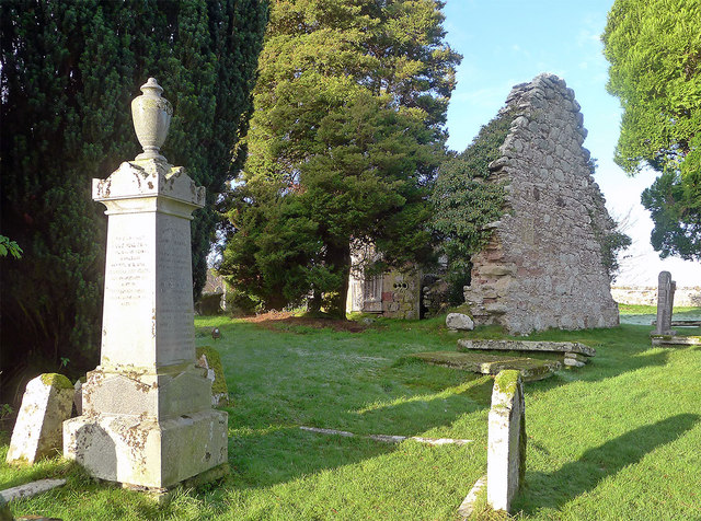
Image: © Julian Paren Taken: 14 Jan 2012
The parishes of Kilmuir Wester and Suddie were united to form Knockbain Parish with the combined parish church being built in 1754. Both the churches at Kilmuir and Suddie were neglected and are now ruins. The only surviving part of the Suddie Church is the East wall and part of a northern wall. The image shows the East Wall of the church and some of the burial ground.
Images are licensed for reuse under creativecommons.org/licenses/by-sa/2.0
Image Location
Latitude
57.562877
Longitude
-4.232901