Former railway bridge near White Hart Inn, Machen
Introduction
The photograph on this page of Former railway bridge near White Hart Inn, Machen by Jaggery as part of the Geograph project.
The Geograph project started in 2005 with the aim of publishing, organising and preserving representative images for every square kilometre of Great Britain, Ireland and the Isle of Man.

There are currently over 7.5m images from over 14,400 individuals and you can help contribute to the project by visiting https://www.geograph.org.uk
Former railway bridge near White Hart Inn, Machen
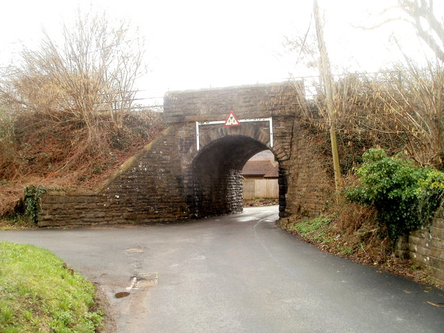
Image: © Jaggery Taken: 26 Feb 2011
The low bridge (headroom 8' 6") now carries National Cycle Network route 4. The left turn is into the White Hart Inn site. http://www.geograph.org.uk/photo/2763147
Images are licensed for reuse under creativecommons.org/licenses/by-sa/2.0
Image Location
Latitude
51.595072
Longitude
-3.153423