Rough grazing west of Sunniside
Introduction
The photograph on this page of Rough grazing west of Sunniside by Trevor Littlewood as part of the Geograph project.
The Geograph project started in 2005 with the aim of publishing, organising and preserving representative images for every square kilometre of Great Britain, Ireland and the Isle of Man.

There are currently over 7.5m images from over 14,400 individuals and you can help contribute to the project by visiting https://www.geograph.org.uk
Rough grazing west of Sunniside
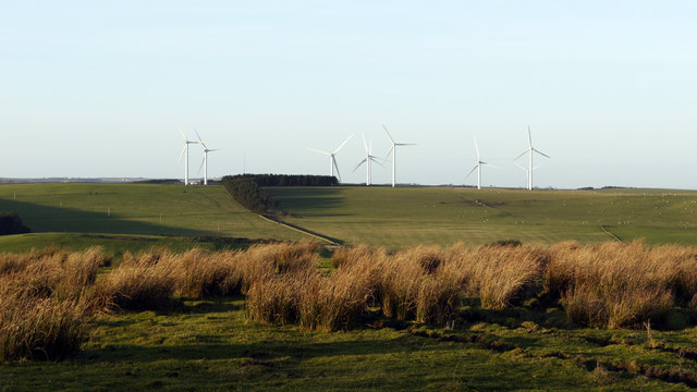
Image: © Trevor Littlewood Taken: 13 Jan 2012
Beyond the rough pasture lies the valley of the River Deerness. Gladstone Terrace of the small village of Sunniside lies just to the right of the camera position.
Images are licensed for reuse under creativecommons.org/licenses/by-sa/2.0
Image Location
Latitude
54.742088
Longitude
-1.786393