Fields in the upper Deerness valley
Introduction
The photograph on this page of Fields in the upper Deerness valley by Trevor Littlewood as part of the Geograph project.
The Geograph project started in 2005 with the aim of publishing, organising and preserving representative images for every square kilometre of Great Britain, Ireland and the Isle of Man.

There are currently over 7.5m images from over 14,400 individuals and you can help contribute to the project by visiting https://www.geograph.org.uk
Fields in the upper Deerness valley
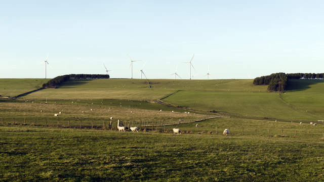
Image: © Trevor Littlewood Taken: 13 Jan 2012
The River Deerness in this part of its valley just east of Tow Law is a mere trickle. Fields lie north and south of the river and, for this part of County Durham, there are almost inevitably, wind turbines in view.
Images are licensed for reuse under creativecommons.org/licenses/by-sa/2.0
Image Location
Latitude
54.75189
Longitude
-1.790381