Sandy Lane, near Donington
Introduction
The photograph on this page of Sandy Lane, near Donington by P L Chadwick as part of the Geograph project.
The Geograph project started in 2005 with the aim of publishing, organising and preserving representative images for every square kilometre of Great Britain, Ireland and the Isle of Man.

There are currently over 7.5m images from over 14,400 individuals and you can help contribute to the project by visiting https://www.geograph.org.uk
Sandy Lane, near Donington
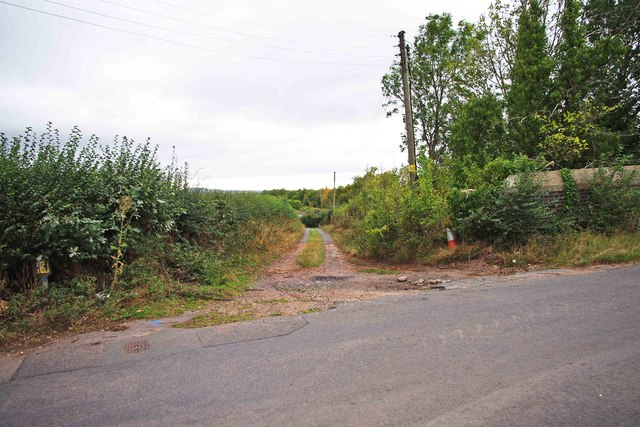
Image: © P L Chadwick Taken: 9 Sep 2011
Photographed from its junction with Rectory Road. Sandy Lane is an access road and is not very long. It also forms a junction with Newport Road.
Images are licensed for reuse under creativecommons.org/licenses/by-sa/2.0
Image Location
Latitude
52.64267
Longitude
-2.284151