Ty Canol Lane, Machen
Introduction
The photograph on this page of Ty Canol Lane, Machen by Jaggery as part of the Geograph project.
The Geograph project started in 2005 with the aim of publishing, organising and preserving representative images for every square kilometre of Great Britain, Ireland and the Isle of Man.

There are currently over 7.5m images from over 14,400 individuals and you can help contribute to the project by visiting https://www.geograph.org.uk
Ty Canol Lane, Machen
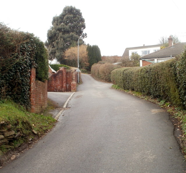
Image: © Jaggery Taken: 26 Feb 2011
Ty Canol Lane is a NW continuation of Dranllwyn Lane. Two former railway bridges mark the dividing line between the lanes. http://www.geograph.org.uk/photo/1041403
Images are licensed for reuse under creativecommons.org/licenses/by-sa/2.0
Image Location
Latitude
51.596941
Longitude
-3.146251