Fullarton Stable Courtyard
Introduction
The photograph on this page of Fullarton Stable Courtyard by Mary and Angus Hogg as part of the Geograph project.
The Geograph project started in 2005 with the aim of publishing, organising and preserving representative images for every square kilometre of Great Britain, Ireland and the Isle of Man.

There are currently over 7.5m images from over 14,400 individuals and you can help contribute to the project by visiting https://www.geograph.org.uk
Fullarton Stable Courtyard
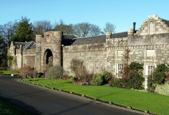
Image: © Mary and Angus Hogg Taken: 13 Jan 2012
Fullarton Stable Courtyard, built in 1792 from a Robert Adam design, was converted to private houses in 1974.
Images are licensed for reuse under creativecommons.org/licenses/by-sa/2.0
Image Location
Latitude
55.536653
Longitude
-4.623976