Ship Lane, Swanley passing under the M25
Introduction
The photograph on this page of Ship Lane, Swanley passing under the M25 by Marathon as part of the Geograph project.
The Geograph project started in 2005 with the aim of publishing, organising and preserving representative images for every square kilometre of Great Britain, Ireland and the Isle of Man.

There are currently over 7.5m images from over 14,400 individuals and you can help contribute to the project by visiting https://www.geograph.org.uk
Ship Lane, Swanley passing under the M25
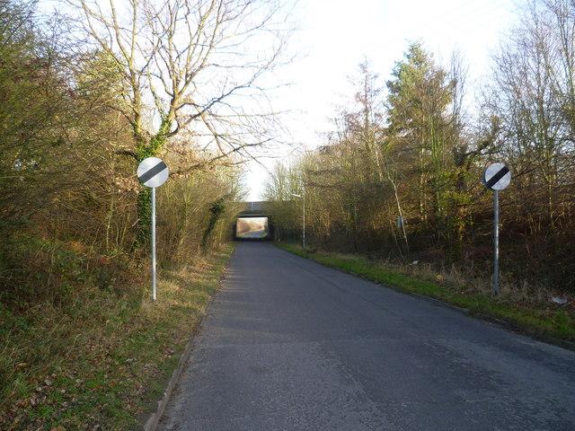
Image: © Marathon Taken: 13 Jan 2012
Ship Lane leads from Swanley Village to Sutton at Hone. This is looking towards the latter. The bridge just ahead carries the M25 overhead.
Images are licensed for reuse under creativecommons.org/licenses/by-sa/2.0
Image Location
Latitude
51.404307
Longitude
0.209915