Barrier on the Barnsley Canal near Smithies
Introduction
The photograph on this page of Barrier on the Barnsley Canal near Smithies by Graham Hogg as part of the Geograph project.
The Geograph project started in 2005 with the aim of publishing, organising and preserving representative images for every square kilometre of Great Britain, Ireland and the Isle of Man.

There are currently over 7.5m images from over 14,400 individuals and you can help contribute to the project by visiting https://www.geograph.org.uk
Barrier on the Barnsley Canal near Smithies
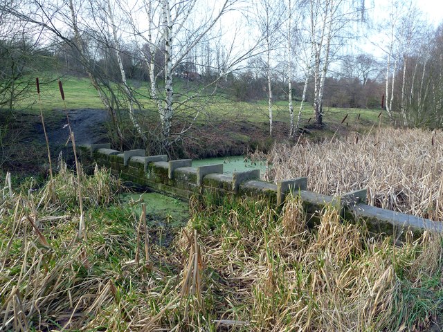
Image: © Graham Hogg Taken: 11 Jan 2012
This section of the canal ran from Barnsley to Barnby Basin; it was constructed in early 1802 and closed in 1953. This barrier appears to have been constructed more recently but, other than as an unofficial footbridge, its purpose is not clear.
Images are licensed for reuse under creativecommons.org/licenses/by-sa/2.0
Image Location
Latitude
53.568047
Longitude
-1.486583