Cultra Folk and Transport Museum
Introduction
The photograph on this page of Cultra Folk and Transport Museum by Kenneth Allen as part of the Geograph project.
The Geograph project started in 2005 with the aim of publishing, organising and preserving representative images for every square kilometre of Great Britain, Ireland and the Isle of Man.

There are currently over 7.5m images from over 14,400 individuals and you can help contribute to the project by visiting https://www.geograph.org.uk
Cultra Folk and Transport Museum
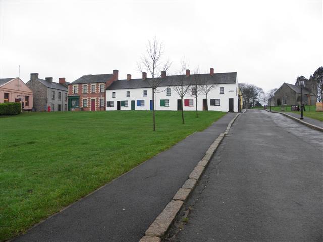
Image: © Kenneth Allen Taken: 11 Jan 2012
We are looking from Meeting Street, towards buildings along Tea Lane, which include the Corner Shop and Labourers' cottages. Ahead is the Diamond area with the Church of Ireland to the right.
Images are licensed for reuse under creativecommons.org/licenses/by-sa/2.0
Image Location
Latitude
54.64892
Longitude
-5.799001