The coastline at Orlock
Introduction
The photograph on this page of The coastline at Orlock by Rossographer as part of the Geograph project.
The Geograph project started in 2005 with the aim of publishing, organising and preserving representative images for every square kilometre of Great Britain, Ireland and the Isle of Man.

There are currently over 7.5m images from over 14,400 individuals and you can help contribute to the project by visiting https://www.geograph.org.uk
The coastline at Orlock
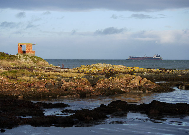
Image: © Rossographer Taken: 7 Jan 2012
The coastline at Orlock in north County Down. The observation post on the rocks dates from at least World War II and is described in Image; the ships offshore can be seen in detail at Image
Images are licensed for reuse under creativecommons.org/licenses/by-sa/2.0
Image Location
Latitude
54.67604
Longitude
-5.581543