The Crescent houses, Machen
Introduction
The photograph on this page of The Crescent houses, Machen by Jaggery as part of the Geograph project.
The Geograph project started in 2005 with the aim of publishing, organising and preserving representative images for every square kilometre of Great Britain, Ireland and the Isle of Man.

There are currently over 7.5m images from over 14,400 individuals and you can help contribute to the project by visiting https://www.geograph.org.uk
The Crescent houses, Machen
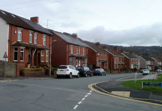
Image: © Jaggery Taken: 26 Feb 2011
Viewed from the corner of Ffwrwm Road. The houses face bungalows http://www.geograph.org.uk/photo/2760468 set below road level.
Images are licensed for reuse under creativecommons.org/licenses/by-sa/2.0
Image Location
Latitude
51.595157
Longitude
-3.144763