Frensham Heights
Introduction
The photograph on this page of Frensham Heights by Colin Smith as part of the Geograph project.
The Geograph project started in 2005 with the aim of publishing, organising and preserving representative images for every square kilometre of Great Britain, Ireland and the Isle of Man.

There are currently over 7.5m images from over 14,400 individuals and you can help contribute to the project by visiting https://www.geograph.org.uk
Frensham Heights
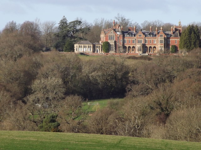
Image: © Colin Smith Taken: 7 Jan 2012
Wooded ridge south of Farnham with a large co-educational school carrying the same name. www.frenshamheights.org www.frensham-pc.gov.uk
Images are licensed for reuse under creativecommons.org/licenses/by-sa/2.0
Image Location
Latitude
51.175968
Longitude
-0.81162