Harvest on Pitkerrie Farm
Introduction
The photograph on this page of Harvest on Pitkerrie Farm by Donald Ross as part of the Geograph project.
The Geograph project started in 2005 with the aim of publishing, organising and preserving representative images for every square kilometre of Great Britain, Ireland and the Isle of Man.

There are currently over 7.5m images from over 14,400 individuals and you can help contribute to the project by visiting https://www.geograph.org.uk
Harvest on Pitkerrie Farm
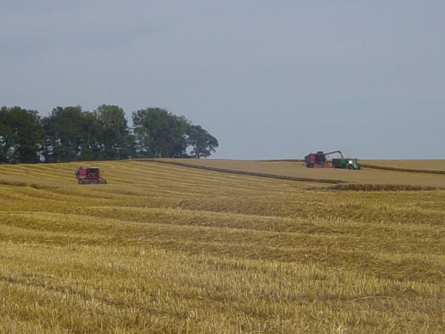
Image: © Donald Ross Taken: 9 Sep 2006
Pitkerrie Farm is probably one of the best farms in Easter Ross. Situated on the top of a hill its red soil is sandy loam over old red sandstone. It is very free draining with very few drains although in wet weather where the old red sandstone comes close to the surface there can be springs (normally on the top of knolls). Crops are of good quality with yields for wheat, barley or oilseed rape which will equal anything in the UK.
Images are licensed for reuse under creativecommons.org/licenses/by-sa/2.0
Image Location
Latitude
57.78609
Longitude
-3.918981