Footpath along route of former industrial tramway, Cwmbran
Introduction
The photograph on this page of Footpath along route of former industrial tramway, Cwmbran by Jaggery as part of the Geograph project.
The Geograph project started in 2005 with the aim of publishing, organising and preserving representative images for every square kilometre of Great Britain, Ireland and the Isle of Man.

There are currently over 7.5m images from over 14,400 individuals and you can help contribute to the project by visiting https://www.geograph.org.uk
Footpath along route of former industrial tramway, Cwmbran
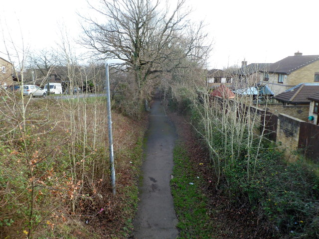
Image: © Jaggery Taken: 7 Jan 2012
The footpath descends away from an underpass beneath Henllys Way. This was originally part of the route of Incline Tramway from Henllys Colliery to the Monmouthshire & Brecon canal at Two Locks. The cars on the left are parked in a residential street named Tramway Close.
Images are licensed for reuse under creativecommons.org/licenses/by-sa/2.0
Image Location
Latitude
51.640945
Longitude
-3.056317