New Housing, Canterbury
Introduction
The photograph on this page of New Housing, Canterbury by Des Blenkinsopp as part of the Geograph project.
The Geograph project started in 2005 with the aim of publishing, organising and preserving representative images for every square kilometre of Great Britain, Ireland and the Isle of Man.

There are currently over 7.5m images from over 14,400 individuals and you can help contribute to the project by visiting https://www.geograph.org.uk
New Housing, Canterbury
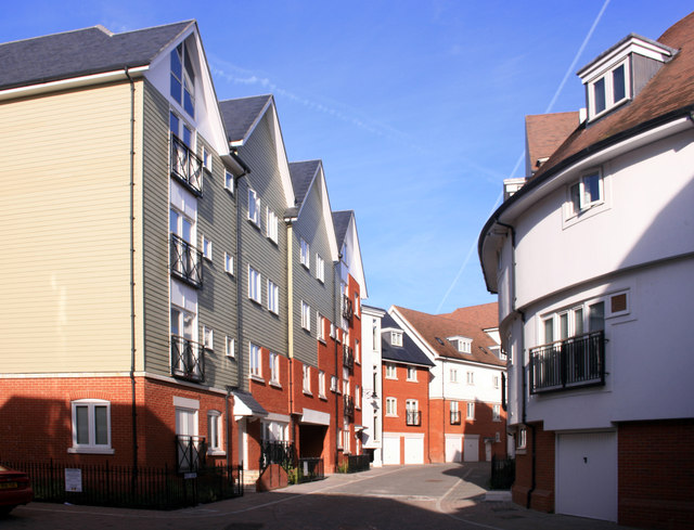
Image: © Des Blenkinsopp Taken: 28 Aug 2011
A whole new neighbourhood has been created to the west of the city centre between the Great Stour and the by-pass. A lot of design variation and a non linear street plan has been used to avoid a "new estate" look.
Images are licensed for reuse under creativecommons.org/licenses/by-sa/2.0
Image Location
Latitude
51.278331
Longitude
1.073587