Obstructed bridleway
Introduction
The photograph on this page of Obstructed bridleway by John Slater as part of the Geograph project.
The Geograph project started in 2005 with the aim of publishing, organising and preserving representative images for every square kilometre of Great Britain, Ireland and the Isle of Man.

There are currently over 7.5m images from over 14,400 individuals and you can help contribute to the project by visiting https://www.geograph.org.uk
Obstructed bridleway
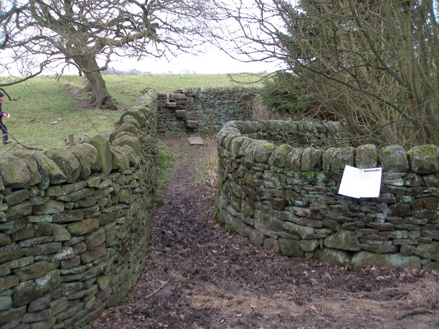
Image: © John Slater Taken: 8 Jan 2012
The wall and stile were built across the bridleway in the 1980s. Bradford council are now trying to downgrade the status to footpath
Images are licensed for reuse under creativecommons.org/licenses/by-sa/2.0
Image Location
Latitude
53.831296
Longitude
-1.908193