Down Roman Road
Introduction
The photograph on this page of Down Roman Road by Jonathan Kington as part of the Geograph project.
The Geograph project started in 2005 with the aim of publishing, organising and preserving representative images for every square kilometre of Great Britain, Ireland and the Isle of Man.

There are currently over 7.5m images from over 14,400 individuals and you can help contribute to the project by visiting https://www.geograph.org.uk
Down Roman Road
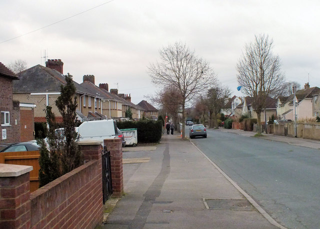
Image: © Jonathan Kington Taken: 9 Jan 2012
Looking down Roman Road towards its junction with Wilton Road at Skew Bridge, the Image is just visible on the left.
Images are licensed for reuse under creativecommons.org/licenses/by-sa/2.0
Image Location


Leaflet Map data © OpenStreetMap
Latitude
51.078364
Longitude
-1.819516