Ravenscraig Link Road
Introduction
The photograph on this page of Ravenscraig Link Road by Richard Webb as part of the Geograph project.
The Geograph project started in 2005 with the aim of publishing, organising and preserving representative images for every square kilometre of Great Britain, Ireland and the Isle of Man.

There are currently over 7.5m images from over 14,400 individuals and you can help contribute to the project by visiting https://www.geograph.org.uk
Ravenscraig Link Road
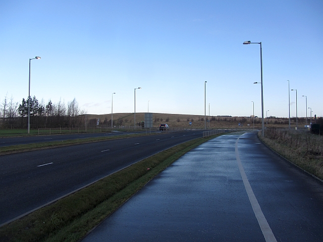
Image: © Richard Webb Taken: 9 Jan 2012
A dual carriageway, cycle path and footpath which runs through the steelworks site. This is proposed as a new town / extension of Motherwell, but little development yet. The cycle path is the usual kind, works well for a while and then takes you away from where you want to go on the pretext of avoiding a roundabout and then ends suddenly making you go through the roundabout anyway.
Images are licensed for reuse under creativecommons.org/licenses/by-sa/2.0
Image Location
Latitude
55.794075
Longitude
-3.96516