The B4070 between Stroud and Slad
Introduction
The photograph on this page of The B4070 between Stroud and Slad by Jaggery as part of the Geograph project.
The Geograph project started in 2005 with the aim of publishing, organising and preserving representative images for every square kilometre of Great Britain, Ireland and the Isle of Man.

There are currently over 7.5m images from over 14,400 individuals and you can help contribute to the project by visiting https://www.geograph.org.uk
The B4070 between Stroud and Slad
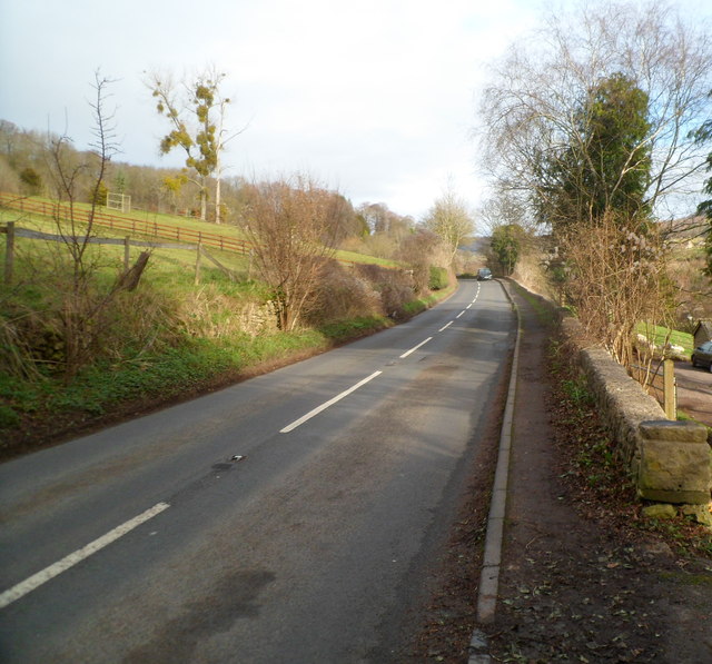
Image: © Jaggery Taken: 8 Jan 2012
Looking NE along the B4070 in the direction of the Cotswolds village of Slad. The perimeter wall of The Reddings is on the right. Hazeling is on the left.
Images are licensed for reuse under creativecommons.org/licenses/by-sa/2.0
Image Location
Latitude
51.756133
Longitude
-2.191188