Railway lines to Liverpool Street outside Pudding Mill Lane station, viewed from Marshgate Lane
Introduction
The photograph on this page of Railway lines to Liverpool Street outside Pudding Mill Lane station, viewed from Marshgate Lane by Robert Lamb as part of the Geograph project.
The Geograph project started in 2005 with the aim of publishing, organising and preserving representative images for every square kilometre of Great Britain, Ireland and the Isle of Man.

There are currently over 7.5m images from over 14,400 individuals and you can help contribute to the project by visiting https://www.geograph.org.uk
Railway lines to Liverpool Street outside Pudding Mill Lane station, viewed from Marshgate Lane
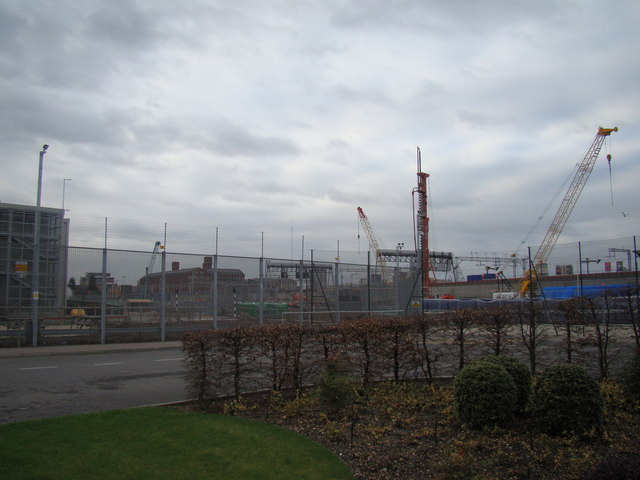
Image: © Robert Lamb Taken: 8 Jan 2012
Looking north-northeast. The large brick building in the background is the former Bryant & May match factory on Wick Lane, adjacent to the A102(M) Blackwall Tunnel Approach, now part of the Bow Quarter Estate.
Images are licensed for reuse under creativecommons.org/licenses/by-sa/2.0
Image Location
Latitude
51.531622
Longitude
-0.02024