Stirley farmhouse
Introduction
The photograph on this page of Stirley farmhouse by Christine Johnstone as part of the Geograph project.
The Geograph project started in 2005 with the aim of publishing, organising and preserving representative images for every square kilometre of Great Britain, Ireland and the Isle of Man.

There are currently over 7.5m images from over 14,400 individuals and you can help contribute to the project by visiting https://www.geograph.org.uk
Stirley farmhouse
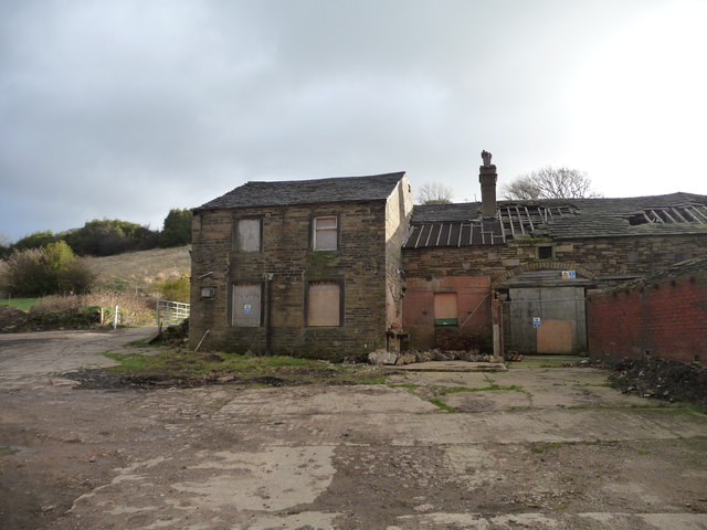
Image: © Christine Johnstone Taken: 7 Jan 2012
The Yorkshire Wildlife Trust have bought this building, and leased the farmland from Kirklees Council, to turn it into an open access community farm. For more details see http://www.ywt.org.uk/discover-learn/stirley-community-farm-huddersfield .
Images are licensed for reuse under creativecommons.org/licenses/by-sa/2.0
Image Location
Latitude
53.618024
Longitude
-1.780763