Hawkesbury: Former Wyken Colliery Mineral Railway
Introduction
The photograph on this page of Hawkesbury: Former Wyken Colliery Mineral Railway by Nigel Cox as part of the Geograph project.
The Geograph project started in 2005 with the aim of publishing, organising and preserving representative images for every square kilometre of Great Britain, Ireland and the Isle of Man.

There are currently over 7.5m images from over 14,400 individuals and you can help contribute to the project by visiting https://www.geograph.org.uk
Hawkesbury: Former Wyken Colliery Mineral Railway
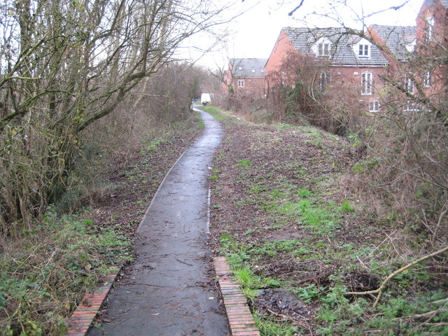
Image: © Nigel Cox Taken: 31 Dec 2011
The footpath here, immediately to the north-west of the Coventry Canal, follows the route of the former Wyken Colliery Mineral Railway. This was built to serve Wyken Main Colliery by the London & North Western Railway, branching off from their main Coventry to Nuneaton line. The colliery ceased operations in 1910, but newer industrial works in the vicinity created a continuing need for a railway connection and this section of the branch at least is shown with trackwork on the 1950s Ordnance Survey map. Black Horse Road in the distance had a level crossing with the railway.
Images are licensed for reuse under creativecommons.org/licenses/by-sa/2.0
Image Location
Latitude
52.45745
Longitude
-1.471629