Roundabout at the top of the hill
Introduction
The photograph on this page of Roundabout at the top of the hill by Neil Owen as part of the Geograph project.
The Geograph project started in 2005 with the aim of publishing, organising and preserving representative images for every square kilometre of Great Britain, Ireland and the Isle of Man.

There are currently over 7.5m images from over 14,400 individuals and you can help contribute to the project by visiting https://www.geograph.org.uk
Roundabout at the top of the hill
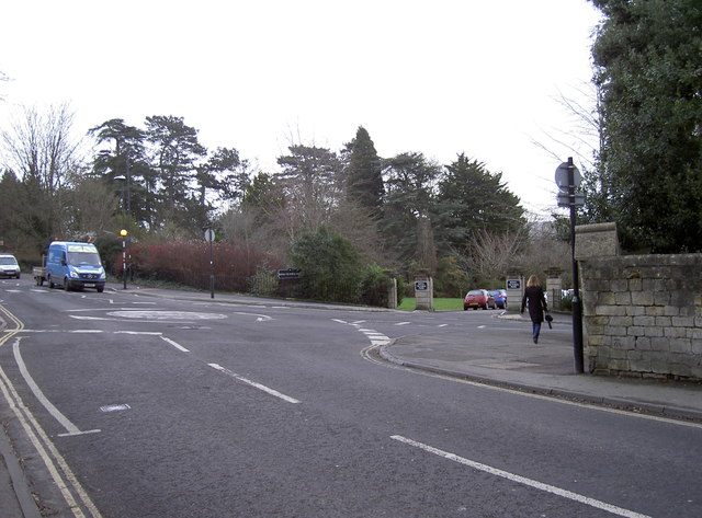
Image: © Neil Owen Taken: 6 Jan 2012
Adjoining the Weston Road and Park Lane is the vehicular entrance to Royal Victoria Park. The eagle-eyed viewers will spot a benchmark on the wall to the left. See Image] for a close view.
Images are licensed for reuse under creativecommons.org/licenses/by-sa/2.0
Image Location
Latitude
51.38919
Longitude
-2.378349