Scott Hall Road
Introduction
The photograph on this page of Scott Hall Road by Rich Tea as part of the Geograph project.
The Geograph project started in 2005 with the aim of publishing, organising and preserving representative images for every square kilometre of Great Britain, Ireland and the Isle of Man.

There are currently over 7.5m images from over 14,400 individuals and you can help contribute to the project by visiting https://www.geograph.org.uk
Scott Hall Road
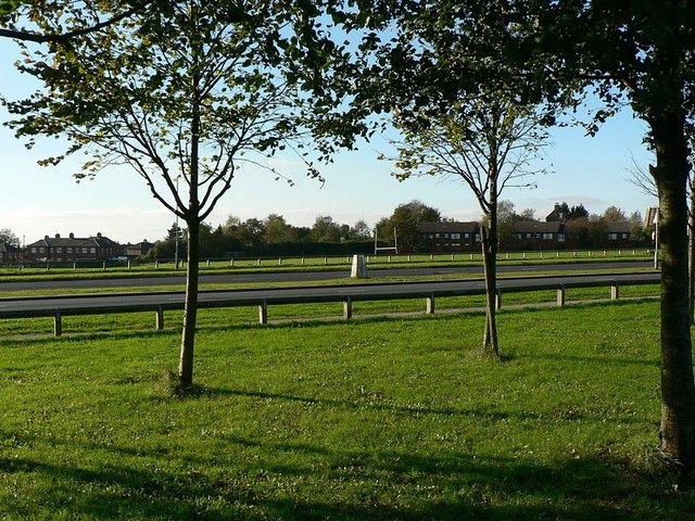
Image: © Rich Tea Taken: 6 Nov 2006
Looking west from the playing field on the east side to the playing field on the west side. The pillar in the central reservation is a trig point. See Image]
Images are licensed for reuse under creativecommons.org/licenses/by-sa/2.0
Image Location
Latitude
53.822113
Longitude
-1.545766