Corfe Mullen Methodist Church
Introduction
The photograph on this page of Corfe Mullen Methodist Church by Mike Faherty as part of the Geograph project.
The Geograph project started in 2005 with the aim of publishing, organising and preserving representative images for every square kilometre of Great Britain, Ireland and the Isle of Man.

There are currently over 7.5m images from over 14,400 individuals and you can help contribute to the project by visiting https://www.geograph.org.uk
Corfe Mullen Methodist Church
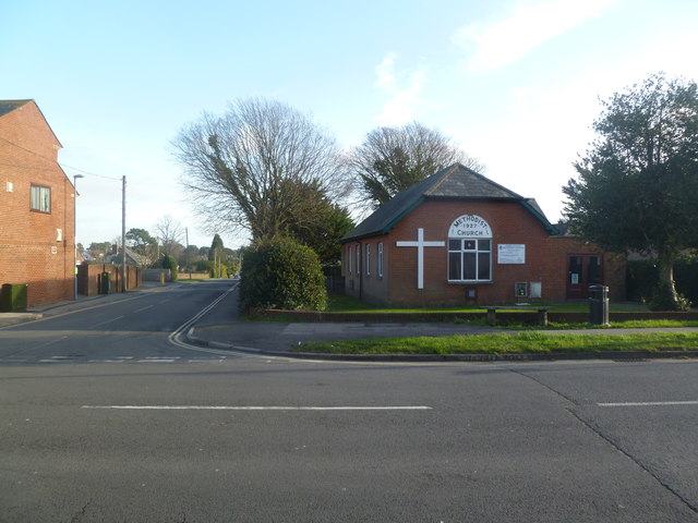
Image: © Mike Faherty Taken: 7 Jan 2012
On Wareham Road, at the corner of Albert Road; dated 1927.
Images are licensed for reuse under creativecommons.org/licenses/by-sa/2.0
Image Location
Latitude
50.765027
Longitude
-2.021501