End of Mile Oak Road
Introduction
The photograph on this page of End of Mile Oak Road by Dave Spicer as part of the Geograph project.
The Geograph project started in 2005 with the aim of publishing, organising and preserving representative images for every square kilometre of Great Britain, Ireland and the Isle of Man.

There are currently over 7.5m images from over 14,400 individuals and you can help contribute to the project by visiting https://www.geograph.org.uk
End of Mile Oak Road
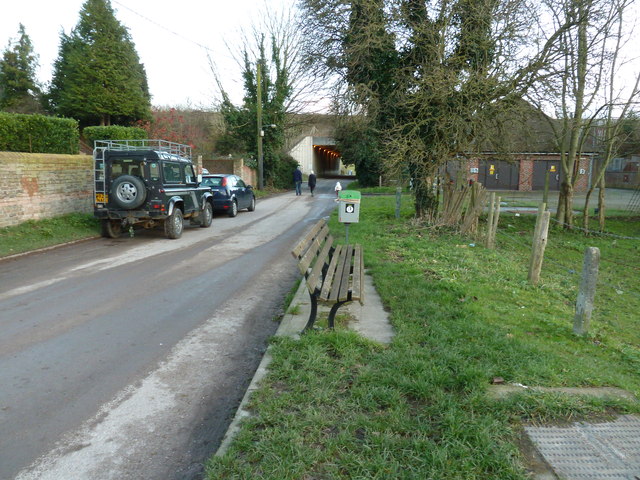
Image: © Dave Spicer Taken: 2 Jan 2012
As seen from Mile Oak Farm. The underpass takes the road under the Brighton bypass, just before the tunnel under Southwick Hill. Just past the Land Rover and car is the entrance to a Water works which had a steam driven pump. This if I remember correctly was demolished in the late 50's and replaced with the more modern equivalent.
Images are licensed for reuse under creativecommons.org/licenses/by-sa/2.0
Image Location
Latitude
50.856907
Longitude
-0.235511