Exhall: Black Bank Pool
Introduction
The photograph on this page of Exhall: Black Bank Pool by Nigel Cox as part of the Geograph project.
The Geograph project started in 2005 with the aim of publishing, organising and preserving representative images for every square kilometre of Great Britain, Ireland and the Isle of Man.

There are currently over 7.5m images from over 14,400 individuals and you can help contribute to the project by visiting https://www.geograph.org.uk
Exhall: Black Bank Pool
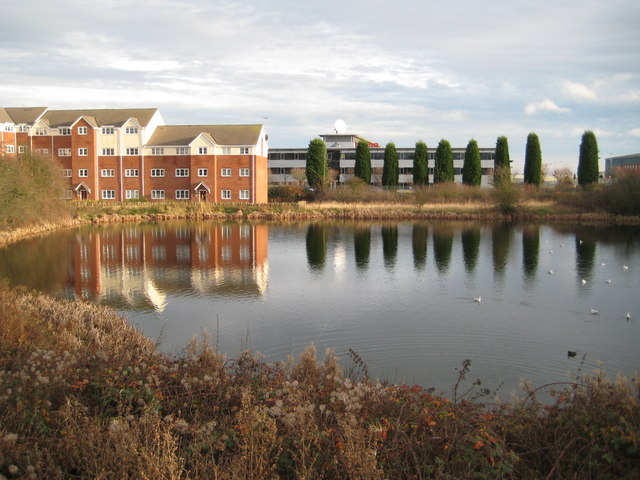
Image: © Nigel Cox Taken: 31 Dec 2011
The pool is shown on the earliest edition of the large scale Ordnance Survey mapping currently available on line, dating from 1887, although to a stranger its origins are not clear. Did it have a function connected with the nearby Exhall Colliery, or the local brickmaking industry, or is it a naturally occurring feature? Trying to research its origins on the internet it appears that the new residential development on the left was a source of much discontent amongst various parties in the 2000s.
Images are licensed for reuse under creativecommons.org/licenses/by-sa/2.0
Image Location
Latitude
52.472844
Longitude
-1.476303