Bradley Way, Strabane
Introduction
The photograph on this page of Bradley Way, Strabane by Kenneth Allen as part of the Geograph project.
The Geograph project started in 2005 with the aim of publishing, organising and preserving representative images for every square kilometre of Great Britain, Ireland and the Isle of Man.

There are currently over 7.5m images from over 14,400 individuals and you can help contribute to the project by visiting https://www.geograph.org.uk
Bradley Way, Strabane
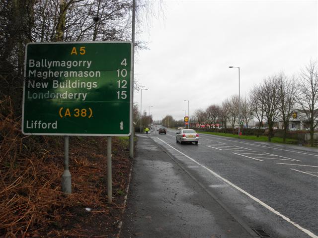
Image: © Kenneth Allen Taken: 6 Jan 2012
Heading north-west to the Great Northern Link The bus station is up ahead to the right and it is a ten minute walk to the town centre.
Images are licensed for reuse under creativecommons.org/licenses/by-sa/2.0
Image Location
Latitude
54.825059
Longitude
-7.470833