This brook marks the Metropolitan District Boundary
Introduction
The photograph on this page of This brook marks the Metropolitan District Boundary by Ian Greig as part of the Geograph project.
The Geograph project started in 2005 with the aim of publishing, organising and preserving representative images for every square kilometre of Great Britain, Ireland and the Isle of Man.

There are currently over 7.5m images from over 14,400 individuals and you can help contribute to the project by visiting https://www.geograph.org.uk
This brook marks the Metropolitan District Boundary
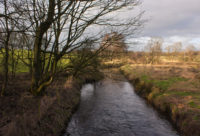
Image: © Ian Greig Taken: 7 Jan 2012
In this case this is also the boundary between Lancashire and Greater Manchester
Images are licensed for reuse under creativecommons.org/licenses/by-sa/2.0
Image Location


Leaflet Map data © OpenStreetMap
Latitude
53.606626
Longitude
-2.587108