Access to the footbridge
Introduction
The photograph on this page of Access to the footbridge by Stephen Craven as part of the Geograph project.
The Geograph project started in 2005 with the aim of publishing, organising and preserving representative images for every square kilometre of Great Britain, Ireland and the Isle of Man.

There are currently over 7.5m images from over 14,400 individuals and you can help contribute to the project by visiting https://www.geograph.org.uk
Access to the footbridge
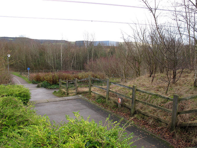
Image: © Stephen Craven Taken: 27 Dec 2011
This is the eastern approach to the cycle and footbridge shown in Image As it is part of a national cycle route (55) there is a zig-zag ramp for cyclists concealed among the planting, as well as a more direct set of steps. Against the fence in the foreground is a marker for one of many high pressure gas mains in the area - see Image
Images are licensed for reuse under creativecommons.org/licenses/by-sa/2.0
Image Location


Leaflet Map data © OpenStreetMap
Latitude
53.280381
Longitude
-2.115143