Benchmark on the archway
Introduction
The photograph on this page of Benchmark on the archway by Neil Owen as part of the Geograph project.
The Geograph project started in 2005 with the aim of publishing, organising and preserving representative images for every square kilometre of Great Britain, Ireland and the Isle of Man.

There are currently over 7.5m images from over 14,400 individuals and you can help contribute to the project by visiting https://www.geograph.org.uk
Benchmark on the archway
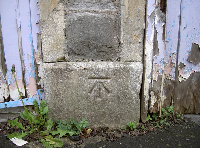
Image: © Neil Owen Taken: 6 Jan 2012
A fine cutmark (as listed in the Benchmark Database http://www.bench-marks.org.uk/bm40834 ) on an unusual feature. Hungerford Road appears a normal Edwardian terrace in Bath, but halfway along it is this small arch and side door. See Image] for a fuller view.
Images are licensed for reuse under creativecommons.org/licenses/by-sa/2.0
Image Location
Latitude
51.385036
Longitude
-2.383919