Disused quarry off Fairhead Lane
Introduction
The photograph on this page of Disused quarry off Fairhead Lane by Graham Horn as part of the Geograph project.
The Geograph project started in 2005 with the aim of publishing, organising and preserving representative images for every square kilometre of Great Britain, Ireland and the Isle of Man.

There are currently over 7.5m images from over 14,400 individuals and you can help contribute to the project by visiting https://www.geograph.org.uk
Disused quarry off Fairhead Lane
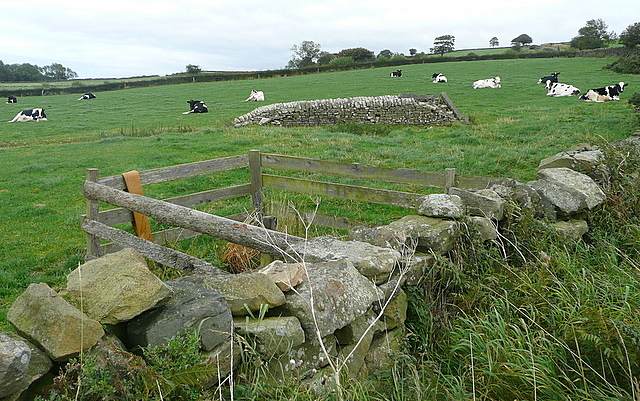
Image: © Graham Horn Taken: 20 Sep 2011
The area is now mainly cattle pasture. But the stonework gives away that there used to be something else here, and indeed the map shows a disused quarry.
Images are licensed for reuse under creativecommons.org/licenses/by-sa/2.0
Image Location
Latitude
54.43447
Longitude
-0.714224