Former St. Dubritius R.C. Chapel, Treforest
Introduction
The photograph on this page of Former St. Dubritius R.C. Chapel, Treforest by Jaggery as part of the Geograph project.
The Geograph project started in 2005 with the aim of publishing, organising and preserving representative images for every square kilometre of Great Britain, Ireland and the Isle of Man.

There are currently over 7.5m images from over 14,400 individuals and you can help contribute to the project by visiting https://www.geograph.org.uk
Former St. Dubritius R.C. Chapel, Treforest
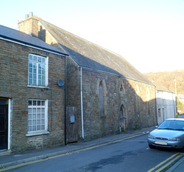
Image: © Jaggery Taken: 9 Dec 2011
Wooden boards cover the windows and doors of this apparently long derelict building on Bridge Street. Old maps name it as St. Dubritius's R.C. chapel. A 1943 map describes it as a hall. A 1960 map shows Boys Club.
Images are licensed for reuse under creativecommons.org/licenses/by-sa/2.0
Image Location
Latitude
51.593242
Longitude
-3.326613