Stone Dyke road Craighalbert, Cumbernauld community park
Introduction
The photograph on this page of Stone Dyke road Craighalbert, Cumbernauld community park by carrickstone emily as part of the Geograph project.
The Geograph project started in 2005 with the aim of publishing, organising and preserving representative images for every square kilometre of Great Britain, Ireland and the Isle of Man.

There are currently over 7.5m images from over 14,400 individuals and you can help contribute to the project by visiting https://www.geograph.org.uk
Stone Dyke road Craighalbert, Cumbernauld community park
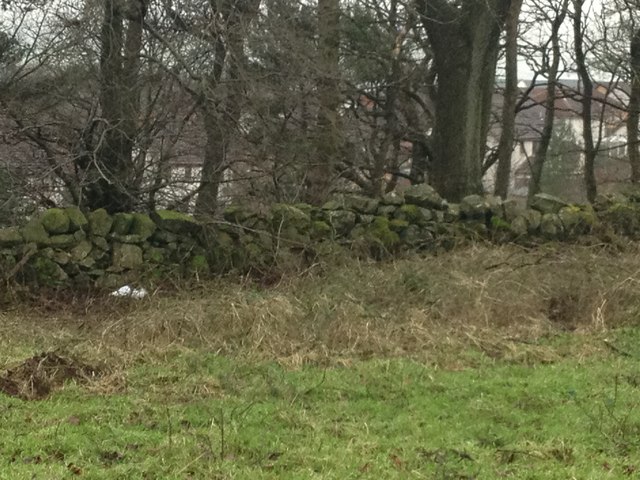
Image: © carrickstone emily Taken: 6 Jan 2012
this wall runs parallel to the modern 'snake' path of Cumbernauld community park. It could mark the position of the Auld Cley road and is certainly part of Craighalbert farm. Old farm buildings are being utilised as a school and residential buildings.
Images are licensed for reuse under creativecommons.org/licenses/by-sa/2.0
Image Location
Latitude
55.957304
Longitude
-4.013474