The auld cley road
Introduction
The photograph on this page of The auld cley road by carrickstone emily as part of the Geograph project.
The Geograph project started in 2005 with the aim of publishing, organising and preserving representative images for every square kilometre of Great Britain, Ireland and the Isle of Man.

There are currently over 7.5m images from over 14,400 individuals and you can help contribute to the project by visiting https://www.geograph.org.uk
The auld cley road
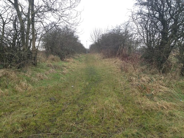
Image: © carrickstone emily Taken: 6 Jan 2012
This road has been used for thousands of years and is shown in lots of old maps. It was a vital road which made travelling through Dullatur bogs possible before the marshes were drained. Robert the Bruce supposedly gathered his troops nearby at the Carrickstone. The views of the Clyde valley, Campies and Kilsyth hills are still good and would have been more so before modern housing had been built.
Images are licensed for reuse under creativecommons.org/licenses/by-sa/2.0
Image Location
Latitude
55.960845
Longitude
-4.0002